
Omnidrone offers a comprehensive range of drone services to both companies and individuals, including aerial real estate photography, mapping, 3D modeling, volume analysis, monitoring and aerial inspections across Georgia. We specialize in processing and analyzing drone data with photogrammetry techniques, utilizing advanced technologies and methodologies.
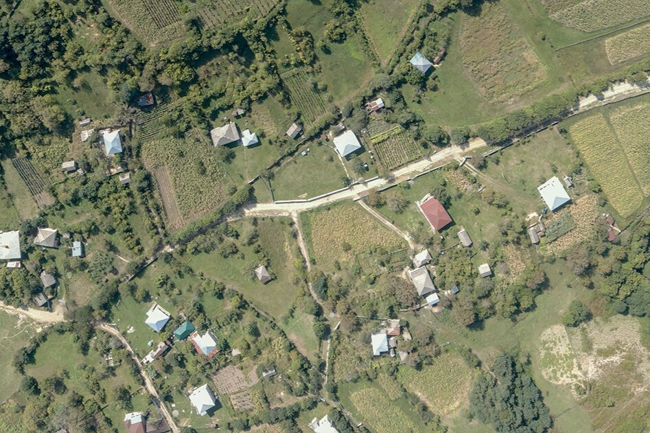
Detailed, centimeter-accurate georeferenced orthophoto.
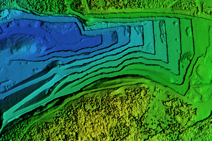
Accurate and informative surface model and a topographic map.
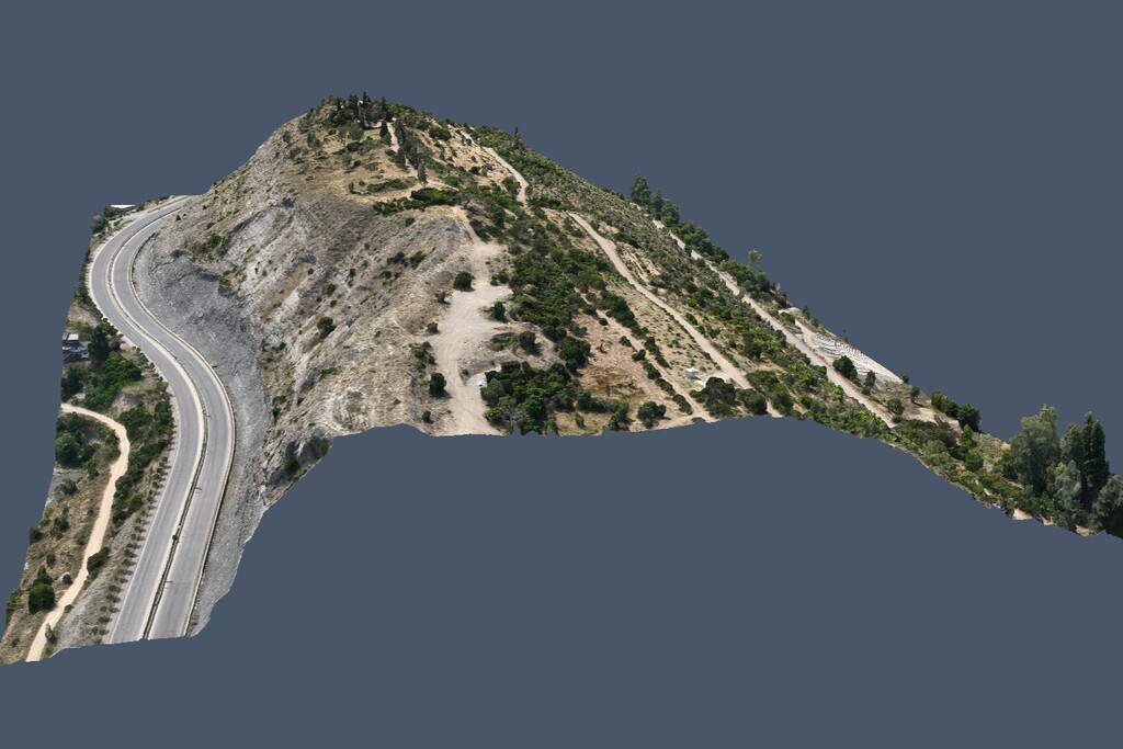
A detailed three-dimensional representation of a site or objects.
Regular site monitoring using orthophotos, maps or aerial photo-video.
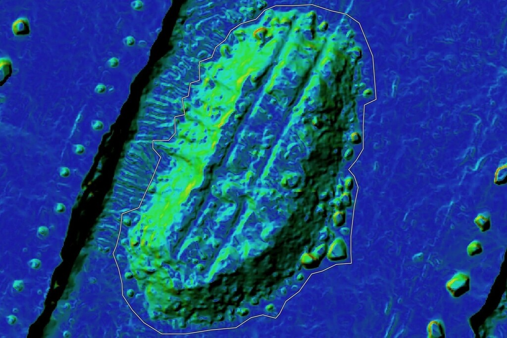
Photogrammetry-based stockpile and earthwork volumetrics.
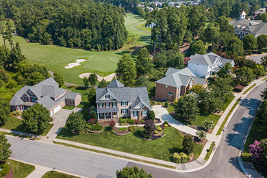
Real estate photos, videos and panoramic views for marketing or other purposes.
We strive to fulfill the diverse needs of various industries by delivering fast, accurate and high-quality solutions to both businesses and individuals.
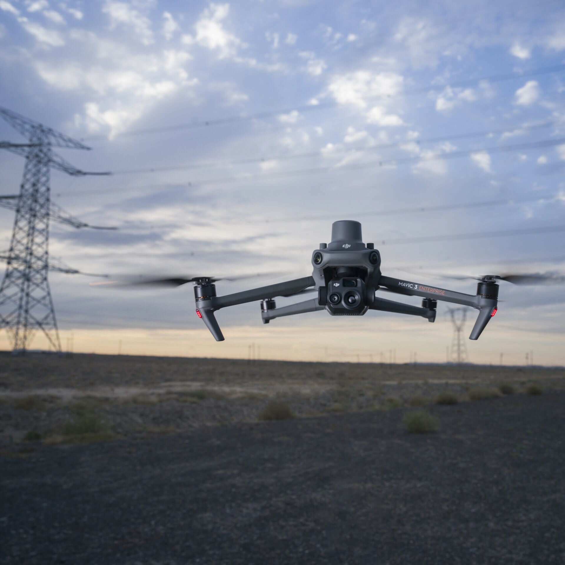
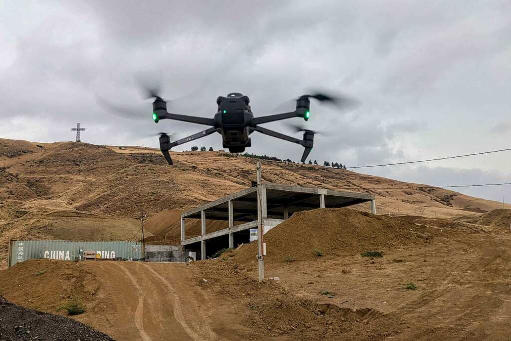
This drone is specifically designed for industrial purposes, such as mapping and modelling. Advantages of this model include RTK support, improved camera over its predecessor - the Phantom 4 RTK, long flight time, safety and reliability.
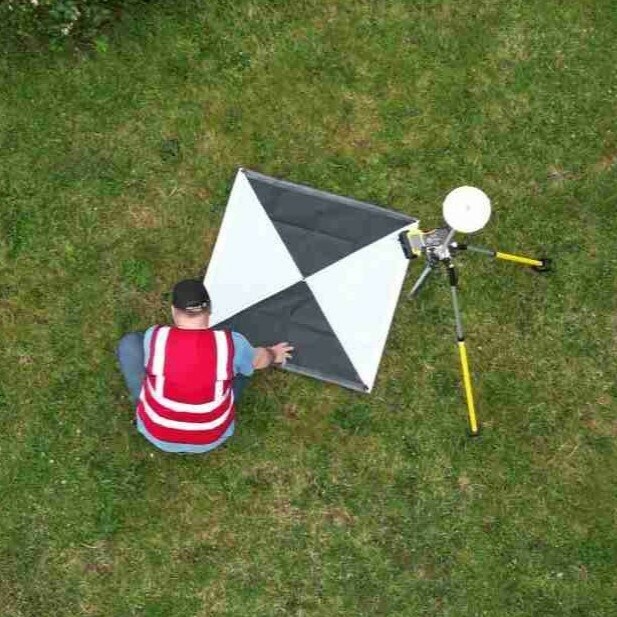
Ground Control Points (GCPs) enhance the accuracy of georeferencing by reducing horizontal errors to just 1-3 cm. Consequently, this approach enables us to achieve survey grade results in significantly less time and at lower costs than traditional surveying methods would allow.

Software is equally vital to producing the final product as the field technologies themselves. Modern photogrammetry and GIS programs, such as Metashape, Pix4D Mapper and ArcGIS Pro, enable the creation of high-quality, easily interpretable outputs.